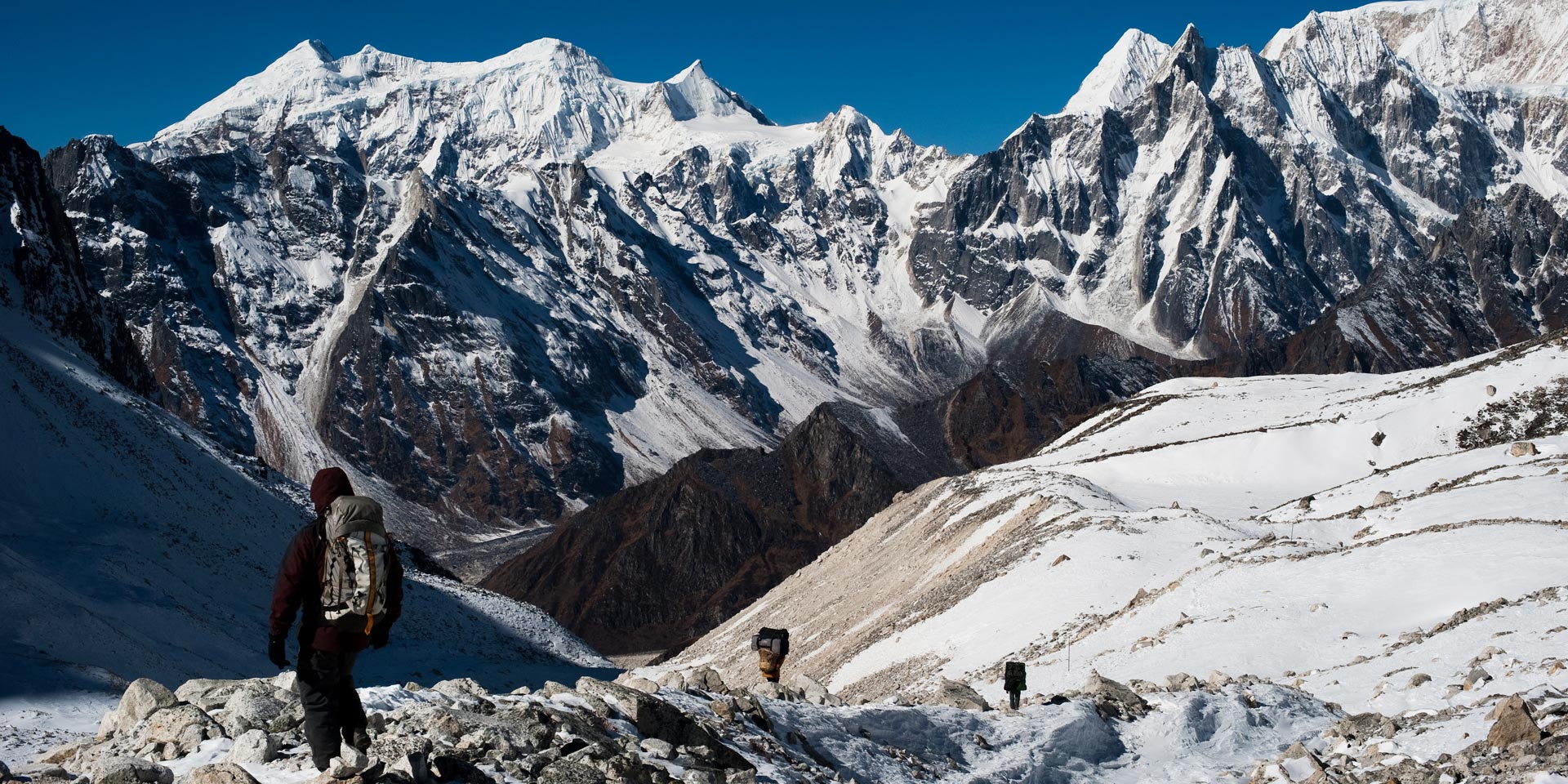
Manaslu Circuit & Tsum Valley Trek
From the Hindu culture of the middle hills to the Tibetan high-country dwellers, the Manaslu Circuit trek in the heart of the Nepal Himalaya is a cultural trek par excellence and without a doubt one of the best treks in Nepal.
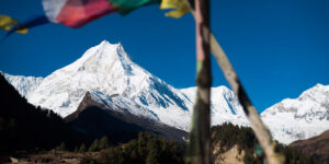
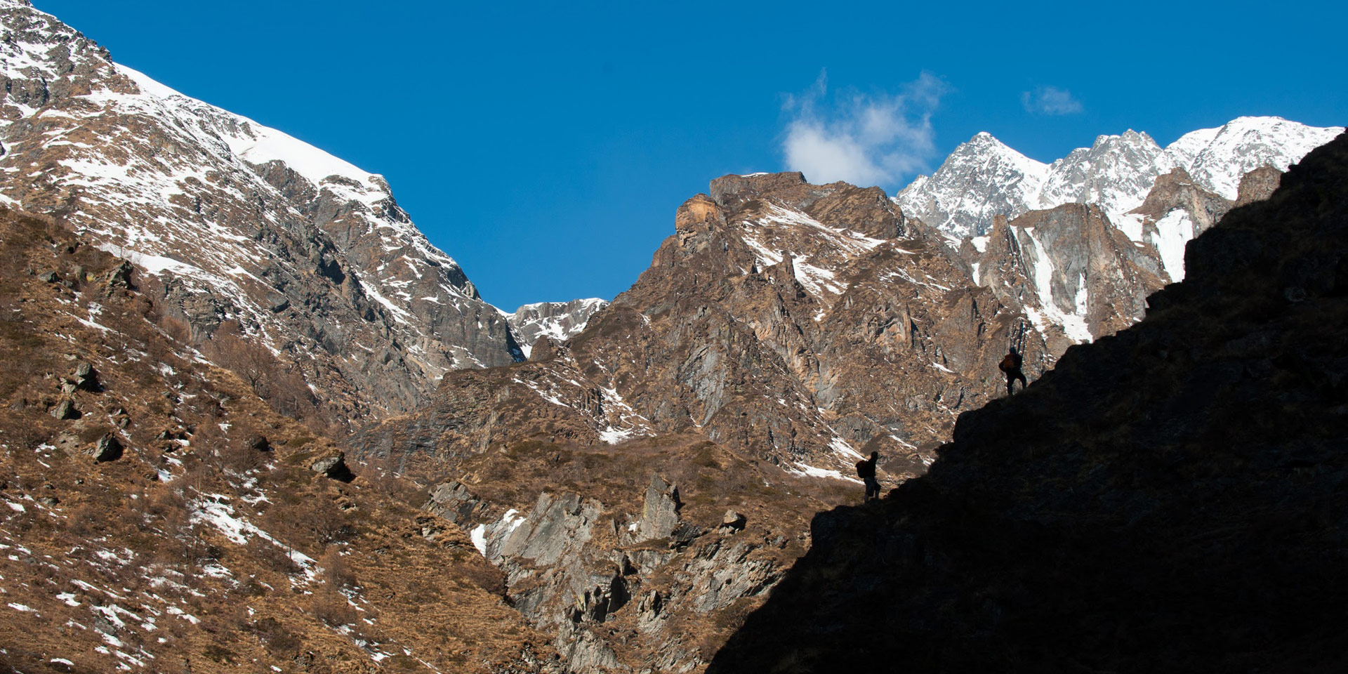
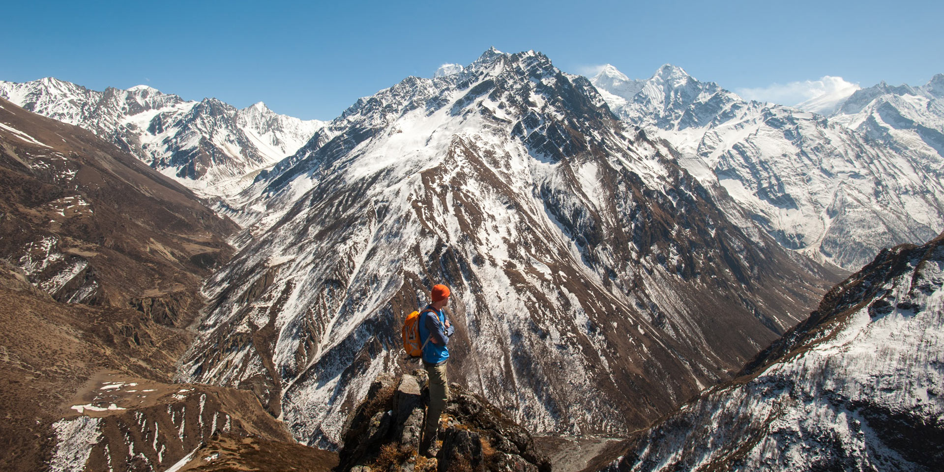
Manaslu, ‘The mountain of the spirit’, is the eight highest peak in the world, and from upper Nubri must be one of the most beautiful; the spectacular mountain scenery has to be seen to be believed.
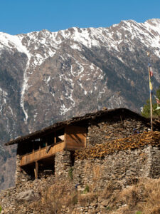
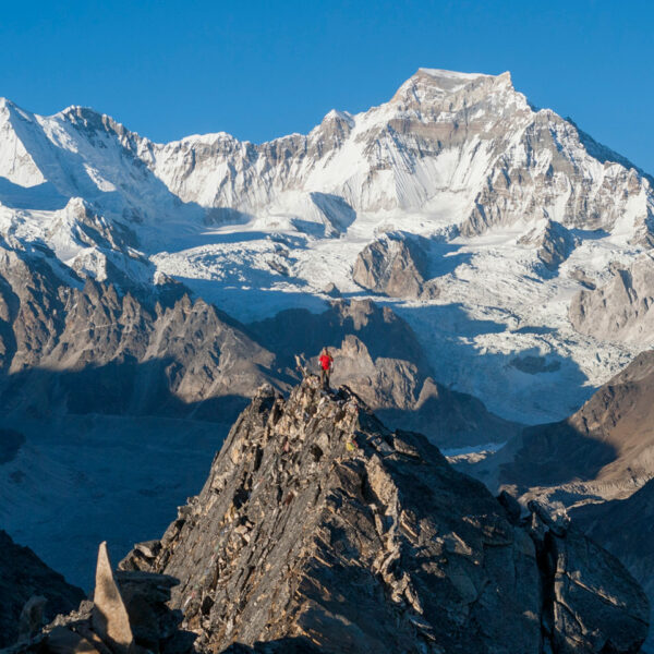
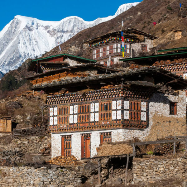
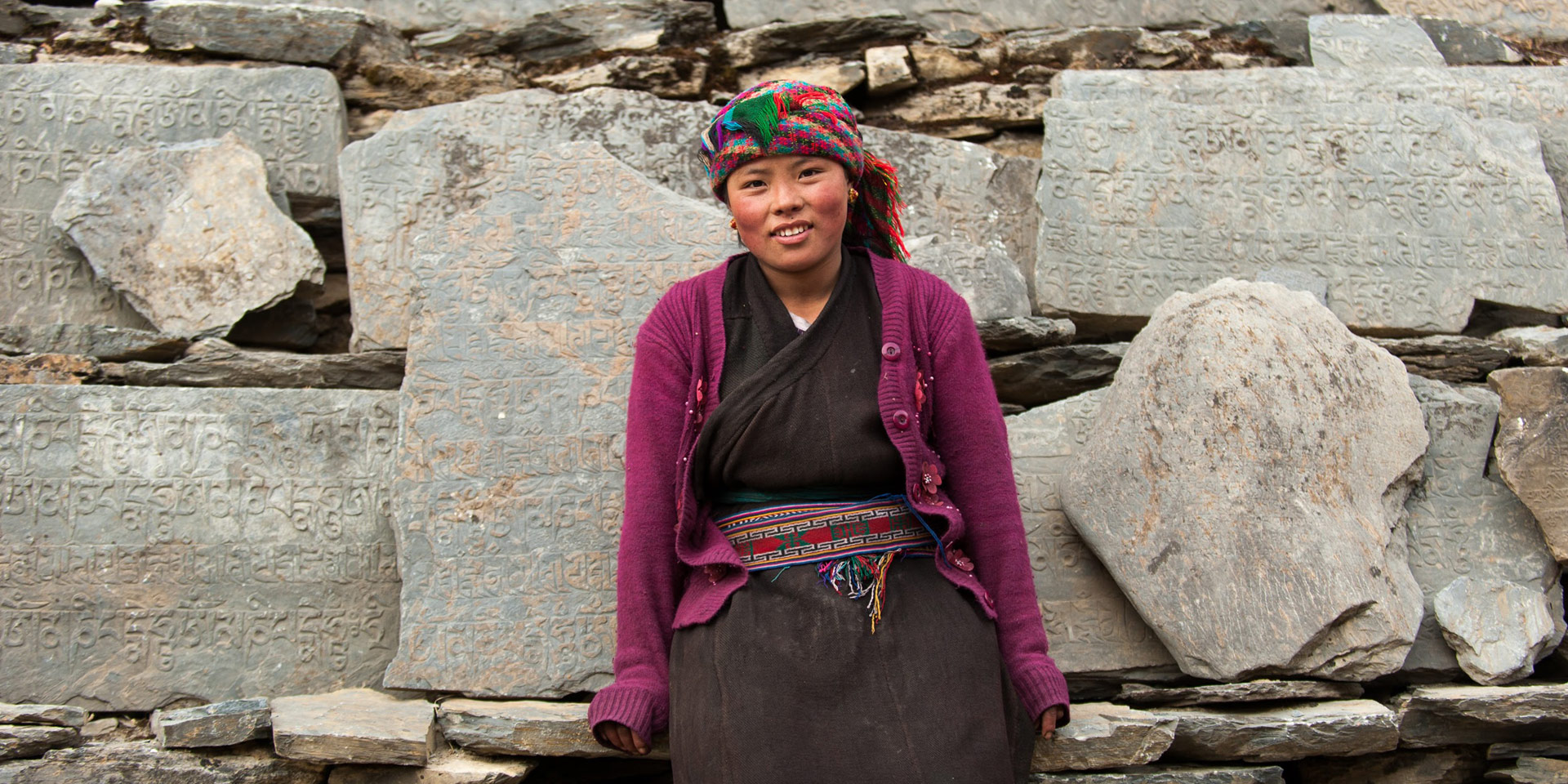
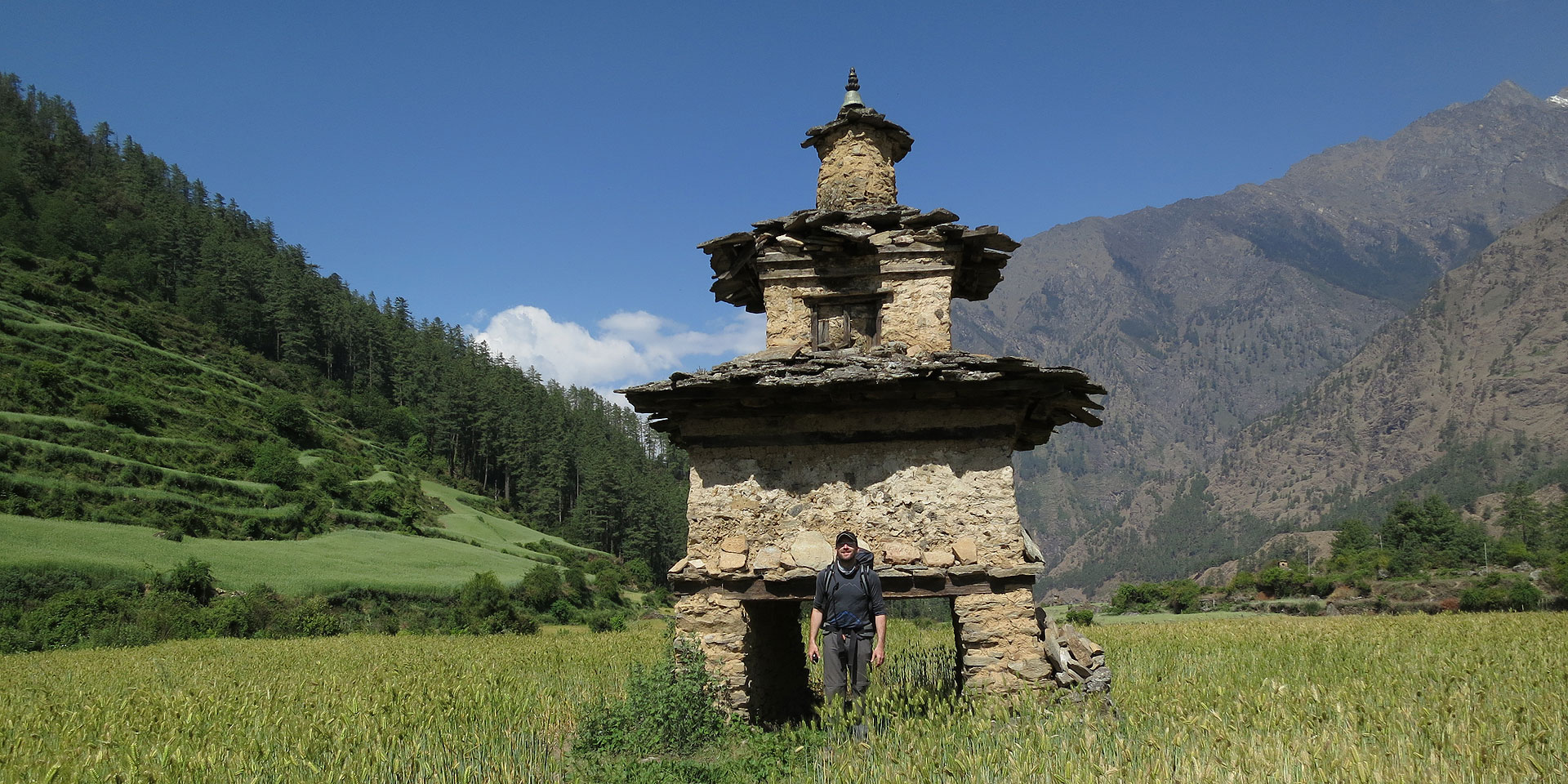
Heading north into hidden Tsum valley, recently opened to trekking but which David Snellgrove explored half a century ago, is one of the highlights of the trip. Tsum is a fascinating and magical region of approximately 4000 ethnically Tibetan inhabitants who still maintain strong links with Tibet. The living Buddhist culture is virtually untouched because of their remote location and wildlife abounds. Tsum is a green and fertile valley of tightly packed, Tibetan-style villages, ancient Tibetan Buddhist gompas and spectacular views of Ganesh and Shringi Himals. We trek high into these valleys, having a chance to approach Ganesh Himal and camp with the lively nuns at the spectacularly-set Gompa Lungdang.
This customised itinerary allows you to experience the diverse culture, spectacular scenery and snow peaks of the Manaslu Himal (Range), in contrast with exploration of Nepal’s capital city, Kathmandu.
- Starts In: Kathmandu
- Ends In: Kathmandu/Pokhara
- Duration: 20 Days
- Difficulty Grade: Strenuous
Highlights
- Journey over the Larke La High Pass at 5135m
- See everyday life as you trek through mountain villages
- Off the beaten path trekking
- The remote Tsum Valley
- Mountain monasteries, river valleys and stunning views over the Himalaya
Itinerary
Day 01: Drive from Kathmandu to Maccha Khola [800m] via Arughat
We drive along the Kathmandu-Pokhara Highway for the first part of the day; we turn of towards to the hill bazaar of Dhading. After Dhading the road gets a bit rough but we will reach our destination, Maccha Kola, in approximately 8-10 hours from Kathmandu.
Transport: Private jeep
Driving time: Approx. 8-10 hours
Accommodation: Tea House
Meals included:
Lunch, Dinner
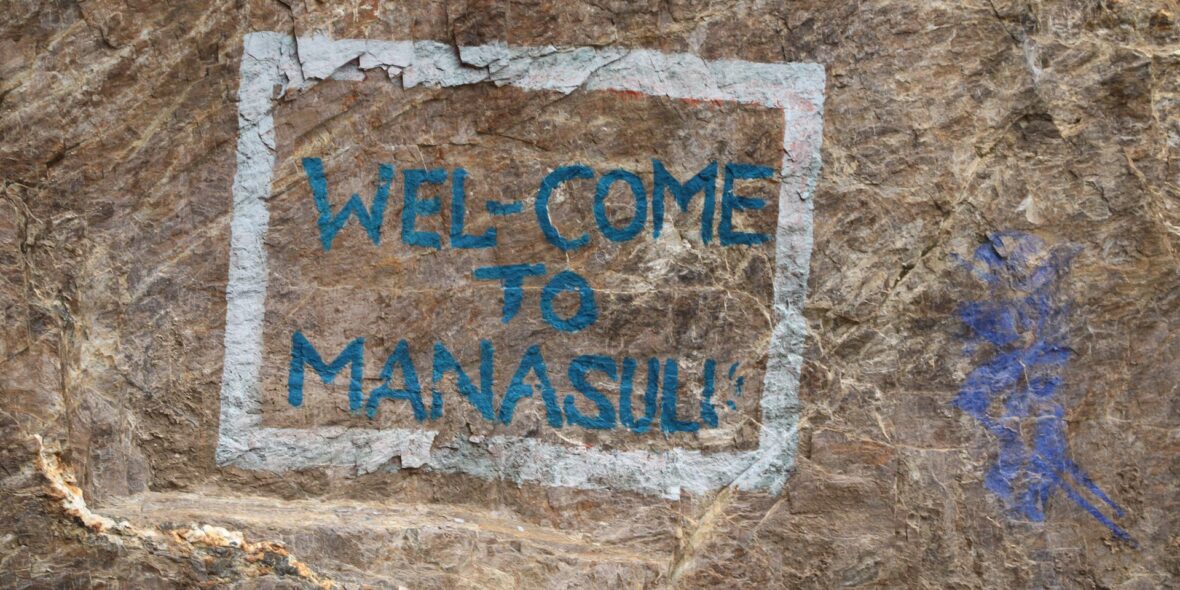
Day 02: Drive to Jagat and Trek to Chisopani [1580m]
Today we’ll hire a local jeep from Machha Khola to Jagat, this is a dusty road that is under construction. We start trekking from Jagat, as the jeep cannot drive any further. For the first 2 hours, we’ll have to walk along the dusty road. But, once we get to Sirdibas, we will leave road and hike to the suspension bridge below Phillim, where we cross the Budi Gandaki River and climb steeply up to Phillim at 1570m where we will have lunch. If you have time explore the upper village and even head all the way up to the monastery high above the village as we only have a short gentle walk to Chisapani after lunch. From Phillim we continue north on a mostly flat trail to Chisapani where we will stay the night.
Note: The two first days of your trek we have kept quite short, there is a couple of reasons for this; 1) It is great to just get in the rhythm of trekking without having to push yourself too hard on the first couple of days. 2) While the road is being constructed up the valley further and further it is not always reliable, so you may have to trek parts if it or the old trails even before Jagat, particularly in autumn 2025.
Walking time: Approx. 4-5 hours
Accommodation: Tea House
Meals included:
Breakfast, Lunch, Dinner
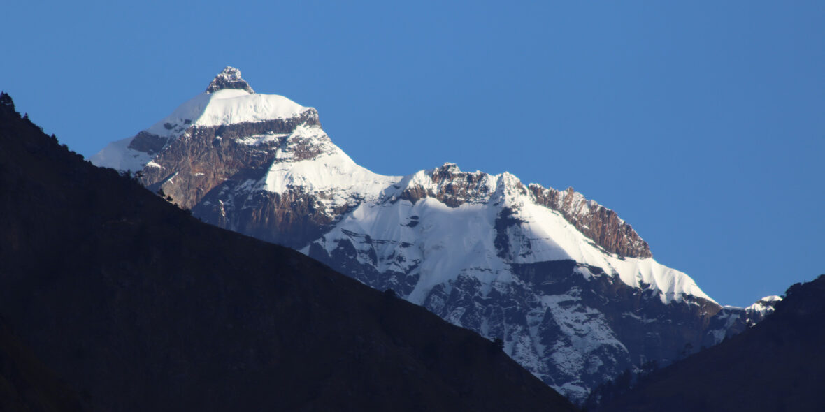
Day 03: Trek from Chisopani to Chumling [2386m]
At the start of our 7 hour day, we pass through Eklai Bhatti (means Lone Tea House), and then on through a narrow, dramatic gorge section with towering walls, and past a thundering waterfall just above us on the right of the trail. We cross the river three more times in the next two hours (often small, badly maintained bridges, Nepali style) to avoid the difficult valley sides; the first bridge, a new one, is at the intersection to Tsum valley. Entering the steep gorge leading into Tsum valley, we enter a purely Tibetan region untouched by Chinese intervention except for by mutual trade. We have about an hour of gradual climbing above the Shiar Khola through a light forest, much of it being cut down for timber, to reach the tiny hamlet of Lokpa at 1915 meters where we will stay en route back to Manaslu. We’ll have views of Shringi & Ganesh Himal from here. The staff will have lunch at the small teahouse, pick up the only green vegetables available in Tsum, and we’ll continue on, descending to cross two newly built metal bridges over the intersecting Sukki Khola and Shiar Khola (questionable name).
Once we reach river level we start to climb again, often steeply and on a somewhat exposed, switch backing trail. The trails through the Tsum valley have been greatly improved over the past few years, so once precipitous and exposed trails are now safe and well maintained. We continue on this cliff-side, undulating trail for about an hour and then drop back down to a small tea-house at Ghumlung from where we’ll cross the main Shiar Khola on a long suspension bridge. The hill-top village of Ripchet comes into sight across the steep-sided valley as we climb again on a nicely graded switchbacking trail to Chumling, a lovely village to the right and above our campsite at Hotel Ganesh Himal. Great mountain views from the guest house, so enjoy if you don’t feel like exploring the village. There is a gompa in the northern (right) section of the village across the suspension bridge just out of camp and Himal Chuli rises down valley.
Walking time: Approx. 7 hours
Accommodation: Tea House
Meals included:
Breakfast, Lunch, Dinner
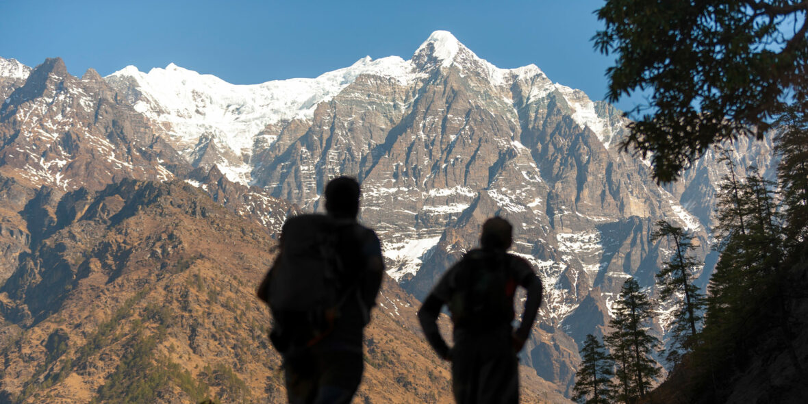
Day 04: Trek from Chumling to Chhokangparo [3031m]
Venturing further into the Tsum valley, we have a lovely hike of 5-6 hours in front of us today to reach Chhokangparo, a twin village which translates as roughly ‘place of wisdom’. Just out of camp we cross the suspension bridge and descend slightly as the valley opens ahead of us with green, fertile villages adding color to the already spectacular setting. We pass several small villages and the tiny Dhampa Gompa (2365m), worth a look inside and meeting the old ani (nun) who lives alone at the gompa. Inside are hundreds of ceramic statues of Chenrisig, the Buddha of Compassion, which line three of the walls. This is unique to the Tsum valley as far as I know and we’ll notice these walls of Chenrisigs in most of the Tsum gompas. Descending once again to the small village of Rainjam where we’ll be welcomed by barking dogs, we take the left-hand trail up a bit, cross another suspension bridge and ascend to the small hamlet of Gho (2570m) where our friends next to the village tap might be weaving or spinning at their small house.
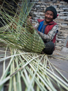
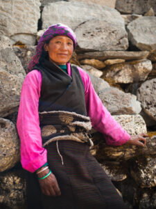
Passing the small shop, we continue to climb on a good trail for another few hours to reach Chhokangparo, where we’ll stop and stay at a homestay for the night. This is one of our favorite villages in the Tsum valley, a scenic and interesting village with friendly villagers and small lanes to explore. There’s a well-stocked shop in town and a local phone, and a home-stay sort of lodge owned by the same couple. The kids are eager to come and play so save some energy. We might have the chance to visit Tashi (of Tsum Valley Homestay)’s mother in their modest Tibetan home for a cup of salt-butter tea, and perhaps we’ll also visit another English-speaking friend, Namgyal, at his much nicer and lighter house. There is lots of weaving happening in this village as in most others in Tsum and Manaslu, and perhaps an opportunity to purchase a hook rug or other textile if you’re interested. The intricate, colorful woven belts adorning most women’s Tibetan-style chubas are unique to the Tsum valley as well.
Walking time: Approx. 5-6 hours
Accommodation: Tea House
Meals included:
Breakfast, Lunch, Dinner
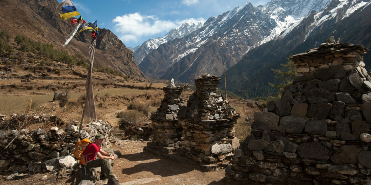
Day 05: Trek from Chhokangparo to Chhule [3347m]
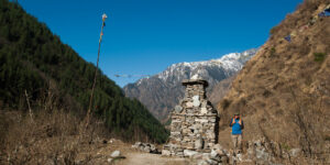
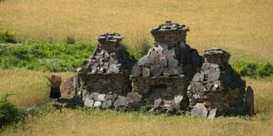
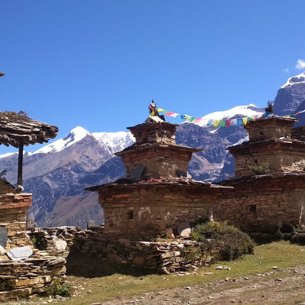
Heading north, our destination for today is Chhule, the furthest village in the Tsum valley. Leaving Chhokangparo via the long mani walls, it’s an easy hike through the lower section of the village (Paro) and back up past a long mani wall to a chorten across from Chhogu Gompa and village. Continuing to climb gradually past green barley and potato fields, we pass a school and soon reach Nyakyu village (3225m). It’s mostly flat walking to the next village, Lamagaon, which is a similar style to the last with narrow alleyways between the houses. This is the open, predominantly flat section of the Tsum valley where one lovely village runs almost into the fields of the next village, the trails are peppered with mani walls and small chortens and the scenery is sublime. Just past Lamagaon (3220m) to the left are two small hermitages (Milarepa Piren Phu Cave & Chi Phu Gompa), and to the right across the river is the nunnery called Rachen Gompa. We stay on the same side of the river, pass through Phurbe and Pangdum, both with small village gompas and between them an unusually shaped large chorten which dominates the skyline. Soon afterwards we reach Chhule village (3250m), we stay here tonight before heading further north tomorrow. This and Nile village accross the river are the last villages in the Tsum valley; Nyi Le means sun-side and Chu Le translates as water side.
Walking time: Approx. 4-5 hours
Accommodation: Tea House
Meals included:
Breakfast, Lunch, Dinner
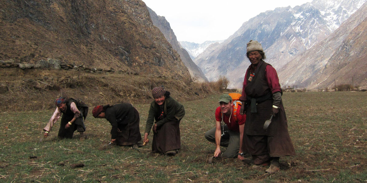
Day 06: Visit Mu Gompa and Trek from Chhule to Chhokangparo [3031m]
Heading further north towards the border of Tibet, our destination for today is the somewhat remote Mu Gompa, the furthest settlement in the Tsum valley. This last section of trail is more desolate and more difficult as we’ll gain 400 meters in the next two hours to Mu Gompa at our highest spot in Tsum. The trail sticks to the left of the river, passing still more mani walls and chortens as it climbs and contours towards the north. After crossing an old ‘slip’ and a small bridge over a glacial stream, we climb a bit more steeply past several larger chortens, with Mu Gompa just above us.
The gompa is Drukpa Kagyupa, affiliated with Kopan Gompa in Kathmandu, and filled with ancient, unrestored murals in the main lhakhang which has a very medieval atmosphere. The murals outside of the gompa, with the usual four guardian Bonpo ‘kings of the four directions’ at either side of the doorway. There are about 16 novice monks, or thawas, and another 5 or 6 mature monks and lamas residing at the gompa, and the central temple is surrounded by the monks simple dwellings.
There is a stunning view point 1 hour climb above the Gompa, where one can look south and East on the Ganesh Himal range. After visiting Mu Gompa we head back down the green valley back to Chhokangparo, which although easier as it’s mostly downhill, still takes about six hours to cover. On the way back we can cross the Khugyu Khola and pass through the large school at Lar to visit Rachen Gompa (locally called Gompa Rangjung), an ani gompa affiliated with Kopan Gompa in Kathmandu with a large number of nuns who stay during the summertime. Further along, past Lamagaon and Ngakyu, we’ll stop into the Chhogu Golden Temple for a look. Once back in Chhokangparo, we’ll be well-situated for our trip to Gompa Lungdang the next day …
Walking time: Approx. 4-5 hours
Accommodation: Tea House
Meals included:
Breakfast, Lunch, Dinner
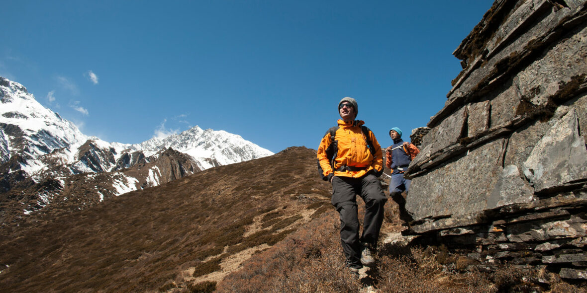
Day 07: Trek from Chhokangparo to Gompa Lungdang [3200m]
It’s a harder day than it looks on the map to reach Gompa Lungdang but worth the effort to get there for the experience of staying with the friendly nuns and the mountain panorama of the Ganesh Himal peaks surrounding the gompa. Leaving camp the same way we came, we backtrack down the large hill on the switchbacking trail that we climbed a few days previously. When we reach the shop and our friend’s small house at Gho we’ll take a sharp left turn and descend through ferms and dense folliage to the Shiar Khola which we cross on a small, wooden bridge. A short hike through light forest brings us to the green hamlet of Dumje (2450m) where some of the young nuns from Gompa Lungdang stay and study, and the nuns have their barley fields. From where we’ll have an often steep three hour hike far above the Laudang Khola to reach Gompa Lungdang. The views are great along the way and there are plenty of resting points en route. Note that the first time you’ll see Gompa Lungdang from the second vertical prayer flag pole on a ridge it’s still a good hour and a few hundred meters away.
There’s a cozy kitchen on the other side of the courtyard and the nuns have a puja every morning and evening in the main gompa, very interesting to sit in on. Dinner and breakfast are usually a tsampa dhiro (mash) with timbur (mountain pepper) and stinging nettle sauce, and of course butter tea. There is also a smaller and older looking prayer room just to the right of the main gompa with some fantastic old murals, perhaps in the northern Indian style. And the views are superb!
Note it may not always be possible to stay at the Gompa, in which case we will return down the hill to Dumje and spend the night there.
Walking time: Approx. 6-7 hours
Accommodation: Monastery Guest House
Meals included:
Breakfast, Lunch, Dinner
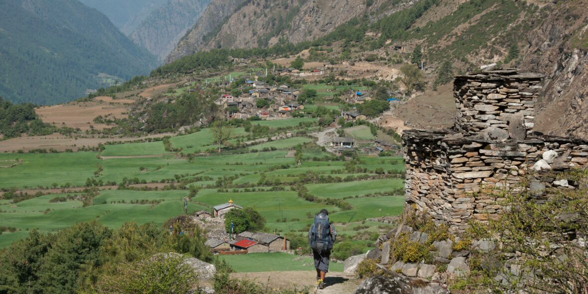
Day 08: Trek from Gompa Lungdang to Ripchet [2470m]
Back down the steep hillside is easier for some than the ascent and should take us an hour and a half to reach the small nunnery outpost at Dumje. We stay on the opposite side of the river than our route in, we hike briefly along a narrow trail between wooden fences which actually passes through a local inhabitant’s barn and then drop down to a new suspension bridge over the Laudang Khola. After crossing to the other side we’ll have about twenty minutes of flat hiking before reaching an ancient, lichen-covered chorten and mani wall marking what seems to be the far reaches of Dumje. We continue, climbing very gradually, though a dense forest which looks as if it might be home to snakes, bears and monkeys (although we never saw any). About an hour and a half after this chorten, after crossing another new suspension bridge, we climb briefly to reach the long village of Ripchet. Ripchet seems a bit poorer than many other villages in the Tsum valley, and is situated on a ridge far above the Shiar Khola with its fields in back. At the end of the line of simple wooden houses is another chorten and then a small school (20 students and 2 teachers on a good day).
Walking time: Approx. 5-6 hours
Accommodation: Tea House
Meals included:
Breakfast, Lunch, Dinner
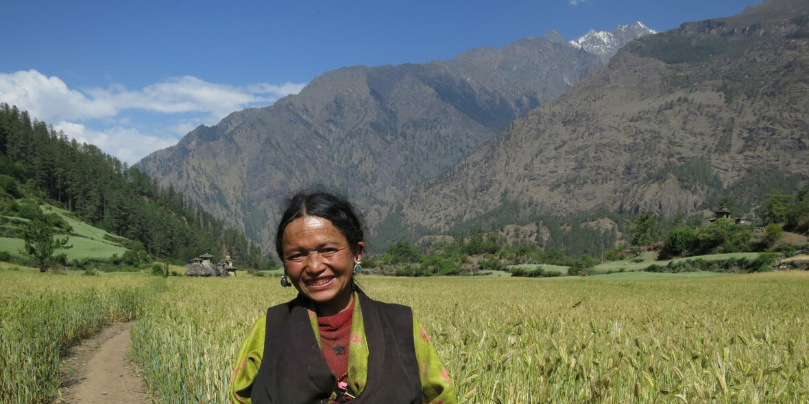
Day 09: Trek from Ripchet to Deng [1860m]
We start this morning with a steep descent over a small stream and then straight down the hill to the small tea-house at Ghumling which we passed about a week ago. Just past here is a small pool for cooling hot feet, and the teahouse has drinks. Now starts our long undulating trail to return to Lokpa. In theory it should be easier to return to Lokpa as it’s lower than our starting point by a few hundred meters, but in reality it still takes a good 2 1/2 to 3 hours of ascents and descents.
We return down to New Bridge on the main Manaslu circuit trek and then start climbing through dense woods for over an hour, we pass the cold campsite of Pewa on the river, and after another hour we leave the gorge and climb briefly to the small village of Deng.
This is the start of the lower Nubri region called Kutang, where the people are ethnically Tibetan but speak a different dialect than the people of upper Nubri where the people are pure Tibetans. The Kutang dialect, called ‘kukay’, is a mix of Tibeto-Burman and Gurung. We have views of Lumbo Himal to the rear, as well as Lapuchen and Dwijen Himals.
The valley is still steep-sided and impressive but after about twenty minutes we reach our camp for the night.
Walking time: Approx. 6 hours
Accommodation: Tea House
Meals included:
Breakfast, Lunch, Dinner
Day 10: Trek from Deng to Namrung [2630m]
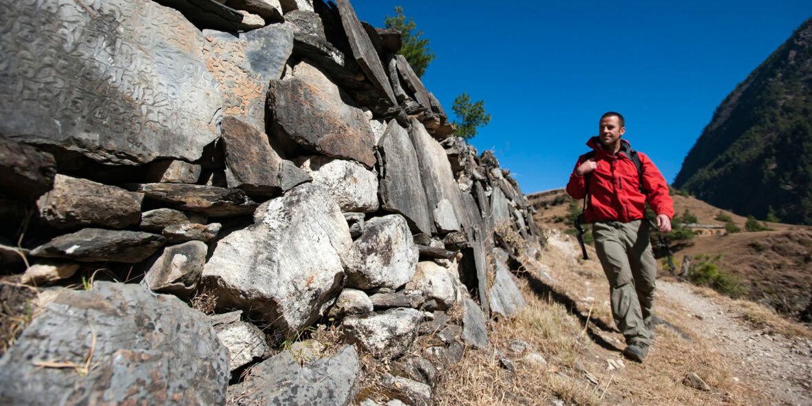
Today is a wonderful trekking day! The valley is still steep-sided and impressive but after about twenty minutes we cross the bridge and switchback up to the village of Rana and then Bihi Phedi, where there is a good shop and views of Kutang Himal. From here we start to see mani stones (prayers etched onto wayside rocks), a sure sign that we are entering another of the tiny footholds of Tibetan culture that mark the high Himalayan places.
For those with extra energy and a fast pace, taking the detour via Bihi is a great option. Bihi has a beautiful Kani (entrance chorten) and some very intricately carved mani stones in the very large payer walls.
Below Bihi, we cross the Sarang Khola and then climb for a while. The trail from here to Ghap is exposed in places and we also need to cross a few landslides. A new suspension bridge is being built here, which by sometime in 2024 might make this a better option to cross the river and go through the beautiful village of Prok. We reach Ghap in time for lunch and will enjoy a rest here before climbing to Namrung in the afternoon.
Above Ghapsyo we pass through the seemingly deserted seasonal village of Nambachhe, planted with fields of barley and lined with mani walls, we ascend through a dense, cool forest for an half an hour, crossing the Budhi Gandaki once on a wooden bridge, to Namrung, at 2540 meters our stop for the night. As we gain altitude, we reach alpine territory and are treated to increasingly amazing mountain views. Namrung village is the start of Nubri, the region of purely Tibetan inhabitants speaking a dialect of western Tibet.
Walking time: Approx. 5-6 hours
Accommodation: Tea House
Meals included:
Breakfast, Lunch, Dinner
Day 11: Trek from Namrung to Hinang Gompa [3070m]
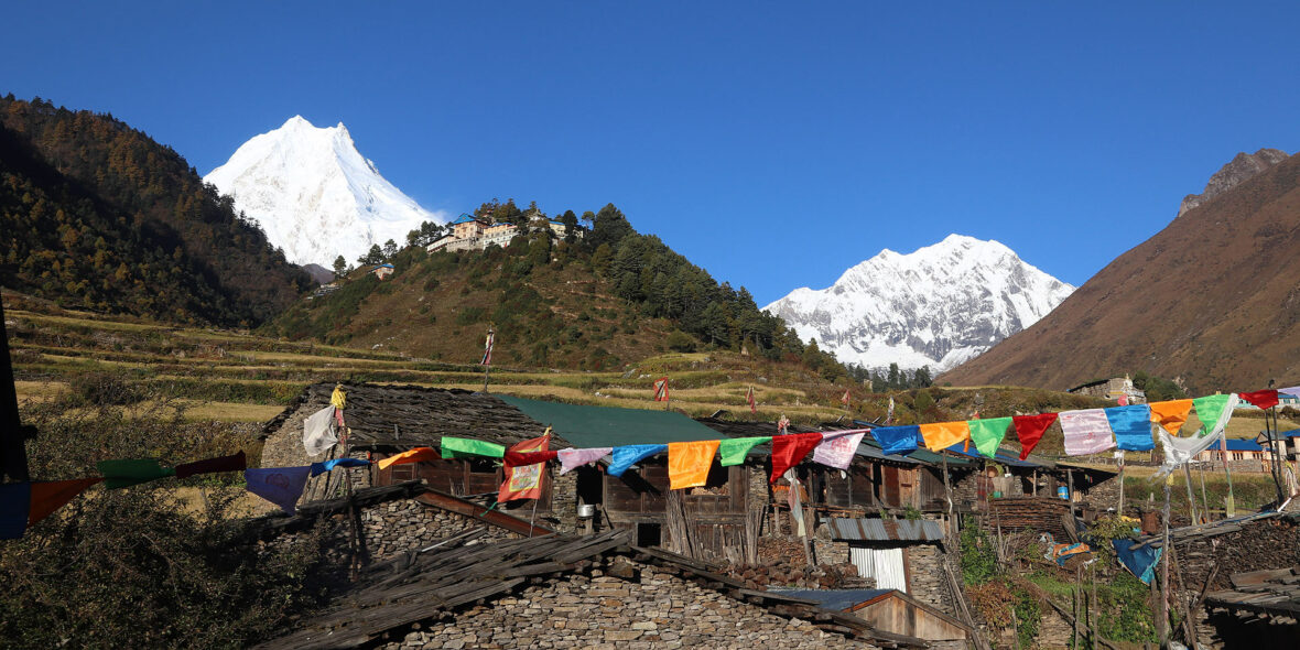
Above Namrung the valley opens out and there are extensive pastures. A few hours later, we reach the village of Lihi at 2840 meters, a substantial altitude gain. We are climbing quite gently now and come to the Hinang Khola River, here we leave the main trail and start the climb to Hinang Gompa.
Hinang Gompa is a tranquil haven amidst the majestic Himalayan peaks. This Buddhist monastery, adorned with vibrant prayer flags, offers a serene pause for trekkers. Imagine monks chanting, incense wafting through the air, and a place that connects you to the spiritual essence of the region.
If you arrive early, take the time in the afternoon to explore further up the valley towards Himal Chuli BC, the scenery only gets more and more stunning the further up the valley you go.
Walking time: Approx. 4-5 hours
Accommodation: Tea House
Meals included:
Breakfast, Lunch, Dinner
Day 12: Trek from Hinang Gompa to Shyala [3500m]
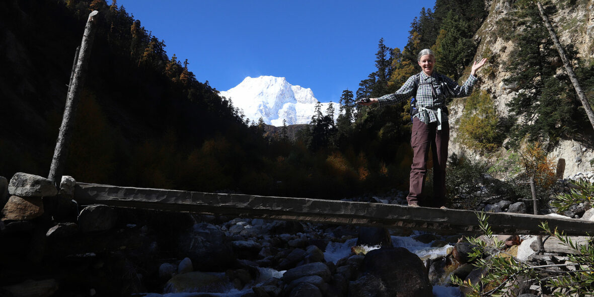
After having our breakfast, we descend back down to the main trail, where we cross the Hinang Khola and reach the picturesque Tibetan village of Sho at 3000m. From Sho, the views of Ngadi Chuli are spectacular, and further on, towards Lho, we are finally treated to views of Manaslu itself; quite an impressive afternoon. Lho is a lively village adorned with many prayer flags in the yard of a small lodge. Sunset and sunrise from this spot are wonderful!
Our lunch stop is at the small gompa just below, with views across the river to the ruins of a old Tibetan fort. Walking through the upper reaches of Lho, with the snowy peaks of Manaslu ahead of us in the distance, we pass the new gompa and then ascend through light forests next to a small river to reach the Tibetan settlement of Shyla, where the villagers are often out in the fields.
Walking time: Approx. 4-5 hours
Accommodation: Tea House
Meals included:
Breakfast, Lunch, Dinner
Day 13: Rest in Shyala or Trek to Sama Gaon [3525m]
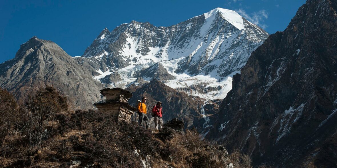
Today we have an option of either staying at Shyala exploring local area, described below, or continue trekking towards Sama Gaon. Depending on what you would like to do, after breakfast you can explore the village and gompas, which is like a little piece of old Tibet! We will hike up to Pung Gyen Gompa, at 3870 metres, a stunning walk up an often icy and slippery trail along the Numla Khola and the Pung Gyen glacier, past Tibetan ‘kharkas’, or seasonal herding settlements, with unbeatable views of Manaslu near the gompa. The gompa was mostly destroyed by an avalanche in 1953, and recently rebuilt. The complex includes a cave gompa as well, which affords even better views of the valley.
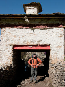
We will then continue our trek up to Sama Gaon or Ro, as the locals call it. Sama Gaon sits in a bowl at the foot of the pastures leading to the high peaks, with mani walls, a small gompa and tightly packed rows of houses at the lower reaches of village, and the large gompa at the upper reaches. The people settled here from Tibet over 500 years ago, and the two gompas date from this time, both having unique architecture and built of wood. The Tibetan villages here have entrance gates which are very distinctive compared with the Tibetan ones, and they maintain an active trade with Tibet (notice the Chinese brandy and beer on sale).
If the weather is good, you will see the village women weaving wool (baal) from Tibet into gowns – which are then traded back to Tibet. Taxes were actually paid to the Dzongka Dzong (fortress) at the border of Tibet, a few days walk from SamaGaon, as late as the 1940’s until it was taken over by the Ghorkas in the late 19th century. Later, after 1959, the region was home to Tibetan guerillas, and thus closed to trekking until 1992.
Walking time; Approx. 1.5 – 2.5 hours
Accommodation: Tea House
Meals included:
Breakfast, Lunch, Dinner
Day 14: Trek from Sama Gaon to Samdo [3850m]
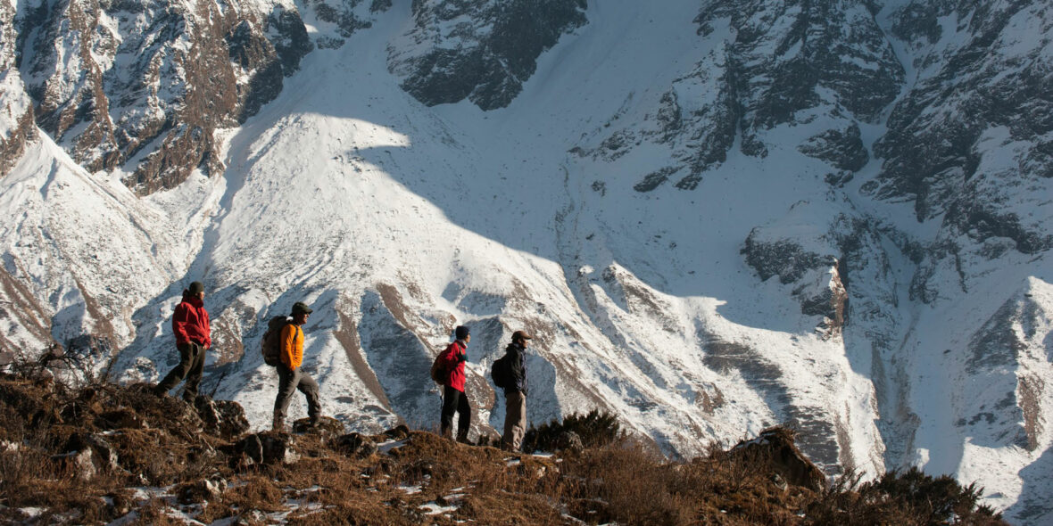
Another day of incredible mountain views during the walk up to Samdo, an easy three hours away. En route we pass the long mani walls at Kermo Kharka, after which we spot the entrance chorten of Samdo high on a bluff. We descend back to the Bhudi Gandaki and cross a small bridge before another short climb to the ‘kane’ entrance of Samdo; look back down the valley for great views.
The villagers of Samdo came across the border from the village of Riu after 1959 and built their new village here, at their old herding settlement (see below). We can get out and take a walk around the village, where the inhabitants live an essentially Tibetan lifestyle, herding their yaks, sheep and goats, training their horses and planting barley. There is a small home gompa in a house mid-village and several reincarnated lamas living in Samdo.
Walking time: Approx 3-4 hours
Accommodation: Tea House
Meals included:
Breakfast, Lunch, Dinner
Day 15: Rest day in Samdo
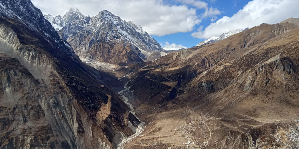
On our rest day here why not a day trip to the border of Tibet; no passport required. It takes five hours walking to the Gya La (‘large pass’) where you can take in the views and ponder the border markers at the top: ‘China, 1962.’ We will probably share the trail with groups of Samdo residents, carrying timbers over the border to Tibet.
Like the people of Ro, the Samdo inhabitants are Tibetan and were ceded the land by the king of Jumla over 500 years ago; but, unlike the Ro people, they only claimed their land after the Chinese takeover in the early 1950s.
Since then they have established a trade with China and India, marketing among other things, the aphrodisiac root that grows in the region. If we’re lucky we can visit and see inside some of the local houses for chang (Tibetan barley beer), salt butter tea and perhaps a few carpets to buy!
Accommodation: Tea House
Meals included:
Breakfast, Lunch, Dinner
Day 16: Trek from Samdo to Dharamsala [4460m]
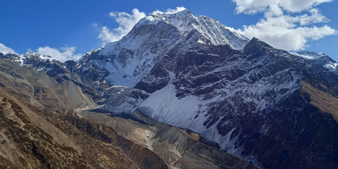
We leave on the trade route to Tibet and climb through the ruins of Larkya bazaar, one of the trade markets that flourished years back. After two hours of climbing past glaciers, with increasingly awe-inspiring panoramas, we come to Dharamsala, where we have lunch and gaze out at the views.
You may really feel the altitude and will certainly the cold here, so enjoy a more leisurely afternoon and keep warm. We’ll have an early dinner in preparation for our pass crossing tomorrow…
Walking time: Approx. 4-5 hours
Accommodation: Tea House
Meals included:
Breakfast, Lunch, Dinner
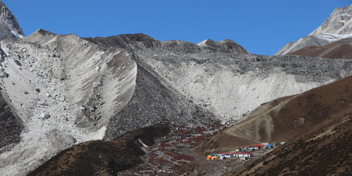
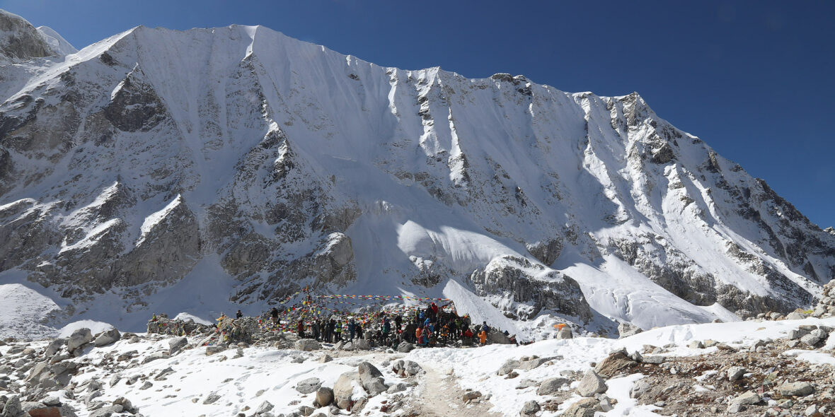
Day 17: Trek from Dharamsala to Bimtang [3590m] via Larkya La [5135m]
After a short climb, we reach the ablation valley on the North side of the Larkya Glaciers where we have views of Cho Danda and then of Larkya Peak. We continue across the moraines of the glacier, making a gradual ascent which becomes steeper only in the last section to the pass, which should take us about three hours to crest.
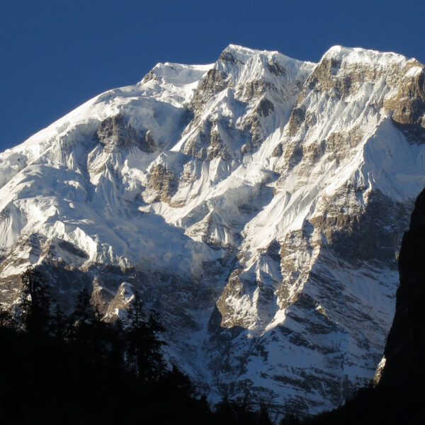
From the pass, there are outstanding views of Himlung Himal, Cheo Himal, Kangguru and the huge Annapurna II. If there is fresh snow, we may see Snow Leopard prints from the evening before; it’s also blue sheep (Bharal) and Tibetan Snow Cock territory.
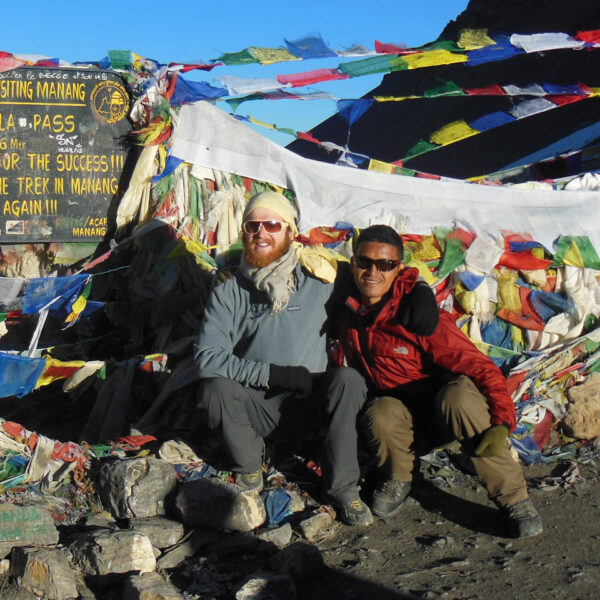
The views from the top of the pass are truly unbelievable. After hanging our Tibetan prayer flags, and yelling ‘Ki ki so so lha gyalo’ (may the Gods be victorious), get ready for a steep, ankle straining drop to a trail following the glacial moraine, very slippery if covered in snow so have your ‘Yak tracks’ ready if you’ve brought them, and definitely use trekking poles.
It is a longer day than usual to Bimtang, but to walk into these low pastures with the evening mist coming in and amazing views of Manaslu; it’s an experience not to be missed.
Walking time: Approx. 7-8 hours
Accommodation: Tea House
Meals included:
Breakfast, Lunch, Dinner
Day 18: Trek from Bimtang to Tilje [2320m]
Bimtang is very chilly in the morning, so getting up for a cup of warming tea is a good idea! To get warm, we move down valley into the sun, through forested hillsides, at the end of our lost world. Here the inhabitants are a mix of Manangis (of Tibetan descent) and Chettris (Hindus), so they eat a mix of dal bhaat, buckwheat dhido, tsampa and Tibetan tea. Today we set a goal of reaching Tilije following the downhills through the lush forests full of flora and fauna including rhododendron bushes and the spiny shrubs of sea buckthorn berries. We’ll stop for lunch at the village of Suti Khola which sits at the junction of the Suti Khola river and Dudh Khola (milk river). Soon, the trail drops to Gurung Goa where you can see the peaceful Gurung village by the river. We’ll continue following the river down to the next village, the lovely Tilje which is a cluster of very cute houses, connected by narrow walkways.
Walking time: Approx. 5-6 hours
Accommodation: Tea House
Meals included:
Breakfast, Lunch, Dinner
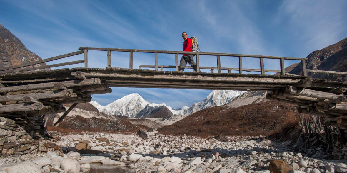
Day 19: Trek from Tilje to Khotro [1860m] and Drive to Besisahar
Today is the final day you’ll be walking to the Manaslu trail. The gorge ahead marks the land of apple pie, cold beers, and hot showers – the Annapurna Circuit trail and almost the end of our trail. We walk down the road for around 10 minutes, before turning off into the beautifully forested hillside with views of Annapurna 2, contouring through the pine needles on a trail that has very short ups and downs and a lovely pine scent, until we reach a tiny Tamrang monastery, which has just one Ani (nun) caretaker. She sometimes gets visitors who stay to study and spend time at the gompa. Here we’ll stop for a cup of tea, and enjoy the views and a chat with Ani before continuing.
Another hour on the trail brings us to the Nache suspension bridge, and at 412m high, looking down into the gorge below isn’t for the faint-hearted! We have a short climb ahead, we can see one single building and upon arrival at that building, the wonderful little village of Nache opens up in front of us! Perched on the hilltop, high above the agricultural lands below, the space of this small land area is filled with tiny houses and our hotel for lunch. We’re reacquainted with Mt Manaslu once again, peeking through the hills, giving us yet another perspective of the eighth highest mountain in the world, at over 8000m high.
It’s a steep descent to the river below, mostly on steps. Our jeep will be waiting at the bottom for the drive down to our overnight destination, Besisahar.
Walking time: Approx. 4-5 hours
Driving time: Approx. 2 hours
Accommodation: Tea House
Meals included:
Breakfast, Lunch, Dinner
Day 20: Drive from Besisahar to Kathmandu
In the morning we say our goodbyes to the crew, load up the jeep and start the drive back to Kathmandu. We will stop for lunch in Kurintar and get into Kathmandu by mid-afternoon.
We hope you have had an incredible trek and we will be looking forward to trekking with you in the Himalayas again!
Accommodation: Tea House
Meals included:
Breakfast, Lunch, Dinner
Included In Price
- Tea house accommodation while on trek
- All meals as per itinerary (with filtered drinking water)
- Transport as per the itinerary in private vehicles
- Your trekking guide and porter/s, with all their transport, equipment, and insurance, including meals and accommodation
- A first aid kit appropriate for the group size and activities
- Trekking permits and registration fees
Note: The local tea houses are basic but clean and they do not often have attached bathrooms or hot showers. The price is based on twin shares and does not include any extra charge that lodge owners may levy for single rooms, attached bathrooms, or hot showers (if these facilities are available) or for battery charging. We can’t know in advance what they may charge for such things in the different lodges along the way, so we prefer to leave this cost out, rather than pass along an estimated charge to you.
The meal inclusions on the trek are breakfast (one set breakfast and a tea or coffee), lunch (one main meal and a tea or coffee), and dinner (soup, main, and dessert with a tea or coffee).
Not Included In Price
- Services and activities not mentioned in the detailed itinerary
- International flights to and from Kathmandu
- Nepal visa fees and international airport taxes
- Any gear or equipment that you may need to rent/buy
- Any excess baggage charges
- Single room supplement – please ask if you would like to have a single room (these are not always available in tea houses, but possible in the hotels/guest houses)
- Comprehensive travel insurance that includes trip cancellation and rescue evacuation should this be required for any reason (we require this as the minimum insurance cover); Rescue/evacuation costs (to be covered by your insurance)
- Additional nights, optional trips, and sightseeing tours outside the detailed itinerary above
- Personal expenses (eg tips, soft drinks/bar bills, laundry, telephone calls, postage, donations, extra snacks, camera charges, etc)
- Tips for your guide and drivers, please ask if you would like any guidance about this
- Costs incurred due to changes in programs and reservations due to unforeseen events (eg landslides, strikes, natural disasters, large increase in fuel prices, etc)


